news
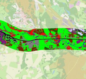
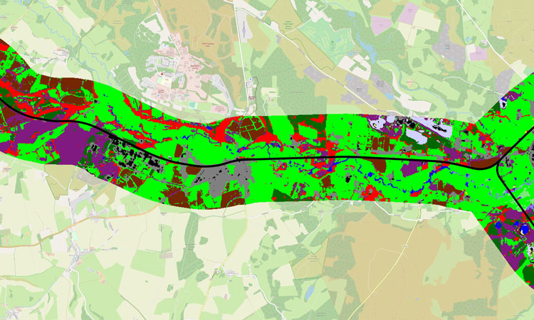
The high-resolution imagery from satellites and aircraft can produce detailed…
22 January 2021 | By Global Railway Review
The high-resolution imagery from satellites and aircraft can produce detailed maps of habitats, helping Network Rail to identify likely biodiversity ‘hotspots’ found alongside Britain's rail network.